On the 12th of August the wind abated and we got
underway at 6 AM.
 |
| Early Morning Departure From Shippagan |
|
 |
| Fishing Boats Waiting For Their Season |
We had enjoyed
Shippagan very much but were happy to again be on our way having many
destinations ahead which remained to be explored. Requesting a bridge opening as we departed
the marina, the Shippagan Bridge was open and ready when we approached allowing
us access to Shippagan Gully, a meandering channel leading to open water
and the Northumberland Strait.
 |
| Shippagan Causeway Bridge |
|
The
Northumberland Strait is the body of water that lies between New Brunswick and
Prince Edward Island. It is said to have
the warmest saltwater north of Virginia.
In order to make up some of the
time lost by the unsettled weather, we chose Shediac, New Brunswick as our next
destination. It would be a 114 mile day.
The day was beautiful with calm water which was fortunate because of the
numerous lobster traps. With each trap marked
with at least two colorful floating buoys one would think they would be easily spotted but, depending on the water conditions and angle of the sun, seeing them can be
very difficult indeed. We had
successfully dodged countless lobster traps when we heard it, the unmistakable
sound of the line from one of these traps wrapping around our propeller shaft! We quickly stopped the boat and backed up
hoping to unwrap any line which might have tangled. Harry cut away the line on the surface and
after a few maneuvers to test our success in this endeavor we continued on. It seemed no harm had been done.
 |
| Shediac Marina, New Brunswick |
|
As soon as we were tied up in the Shediac Marina,
Harry donned his wetsuit to check for any remaining line. He found that there was indeed more line
which he was able to unwind without too much difficulty. No damage appeared to have been done.
 |
| Ready to Dive |
|
 |
| "Look What I Found" |
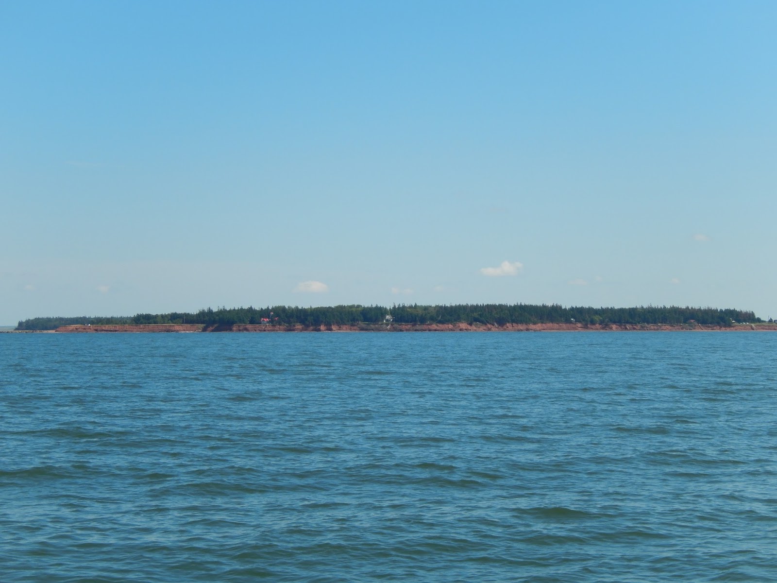
The trip across the strait was very pleasant and there were
fewer lobster traps to dodge. Soon we
could see the deep red island ahead and knew we were approaching Prince Edward
Island, the smallest of Canada’s Provinces.
We rounded the Indian Spit Lighthouse and approached Summerside, a
lovely seaside community.
 |
| The Red Soil of Prince Edward Island Ahead |
|
 |
| Indian Spit Light |
|
 |
| Approaching Silver Fox Marina |
|
We tied up at
Silver Fox Marina and prepared to explore the many bike trails available on the
island.
 |
| Beach at Low Tide |
|
 |
| The End of the Trail |
|
 |
| One of the Bike Trails |
|
 |
| Scenery at Prince Edward Island |
|
When it was time for some refreshment,
Samuels Coffee House served beautifully crafted specialty coffees.
There were several other boats in the marina
doing the same trip that we are. It was fun to compare notes of the trip. Two of these couples were very friendly and
we joined them for dinner or cocktails on several occasions. When the forecast
was good for our departure we traveled together.
Soon after departing from Summerside, we passed under the
Confederation Bridge. This bridge opened
May 31, 1997 and carries the Trans-Canada Highway across the Abegweit Passage
of the Northumberland Straight, linking Prince Edward Island with mainland New
Brunswick. It is the longest bridge over
ice covered waters in the world.
 |
| The Eight Mile Long Confederation Bridge |
|
We found
a peaceful anchorage in Amet Sound, Nova Scotia.
 |
| Kiwi II at Anchor in Amet Sound |
|
 |
| An Early Morning Departure |
|
We departed early taking
advantage of the calm waters. The day
was beautiful, it was a nice trip around Cape John and across St. Georges Bay to
Havre Boucher where we found another lovely anchorage.
 |
| Cape John |
|
 |
| Cape George Light |
|
We arrived early enough in the day to unload
the dinghy and take Hali for a romp on the beach. It was a beautiful evening.
 |
| Hali Enjoying the Water |
|
 |
| The Anchorage at Havre Boucher |
 |
| Ominous Skies |
|


No comments:
Post a Comment