Norfolk, Virginia is the location of mile zero of the
Atlantic Intracoastal Waterway; distances are measured north and south from
this point. Waterside Marina is located
very near the red buoy designating this spot and is the start of the last segment
of our trip back to St. James, NC and then home. Once past the commercial areas
of Norfolk with its many bridges and abundant commercial ship traffic, this segment
of the waterway is more sheltered than much of the wide open waterways we have
been traveling; it is replete with man-made cuts and canals connecting natural
rivers and sounds. For example, the
Elizabeth River and North Landing River are connected by the Albemarle and
Chesapeake Canal. Midway through this
canal is the Great Bridge Lock, the last lock of this trip. It works in conjunction with the bascule bridge;
both are located at Great Bridge.
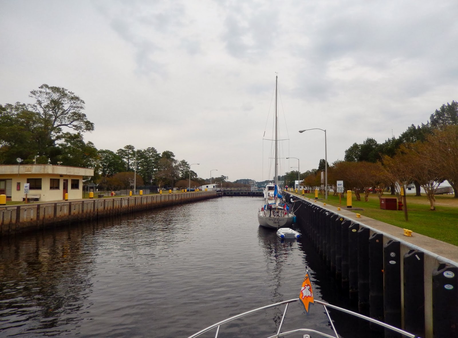 | |
| Great Bridge Lock |
 | |
| Intracoastal Mileage Measured From the Great Bridge Lock |
 | |
| Great Bridge |
South
of Great Bridge the waterway became more wild and remote with beautiful
wetlands and the familiar scenery of Loblolly Pines and Bald Cypress. It was here that it began to truly feel that
we were nearing home.
 | |
| The North Carolina Cut |
 | |
| Bald Eagle Along the Shore |
Our first stop in
North Carolina was in Coinjock, literally a wide spot on the North Carolina
Cut.
 | |
| Coinjock, NC |
Fall is a time when many boaters
depart northern waters heading to the warmer climate of Florida and the Bahamas
for the winter. Called the southern
migration, it was in full swing and we were in the middle of it. As we departed Coinjock, the docks were
emptying of other boats heading south.
 | |
| The Southern Migration |
 | |
| Boats Waiting for the Opening of the Alligator River Bridge. Our Low Profile Allowed Us to Go On Through. |
We
found we would see the same boats each day as we passed one by one, our
cruising speed being a little faster than theirs, their days a little longer
than ours, we often ended up in the same marinas at the end of the day.
 | |
| The Pungo River |
 | |
| Sunrise at Dowry Creek Marina |
We
were blessed with beautiful weather and calm winds during this leg of the
trip. This was very welcome as we
crossed the wide and shallow Pamlico and Neuse Rivers and the Albemarle Sound
all of which can kick up a nasty chop in unsettled weather.
 | |
| Crossing the Neuse River |
 | |
| Adams Creek |
We spent an extra day in Beaufort enjoying
this quaint seaside town which permeates history.
 | |
| Beaufort |
Legends of Blackbeard abound here and the
maritime museum has an interesting exhibit of artifacts recovered from
Blackbeard’s flagship, Queen Anne’s Revenge.
Leslie’s birthday was celebrated at the Beaufort Grocery, a wonderful
restaurant in the heart of downtown. On
the last day of our adventure we enjoyed a delicious breakfast at the Causeway Café
in Wrightsville Beach before heading out on Motts Channel back to the
Intracoastal Waterway.
We soon turned
into Snow’s Cut. This man made cut
connects the ICW at Carolina Beach with the Cape Fear River.
We enjoyed the familiar scenery along the Cape Fear River to Southport where we again joined the ICW. At mile 315 of the Atlantic Intracoastal Waterway (315 miles from Norfolk), we turned into the channel leading to St. James Marina completing this fabulous adventure.
Returning back to St. James on November 2nd after six months and 4580 miles, we reflected back on the fabulous adventure that is “The Down East Circle Loop”.
In the words of Mark Twain, 'Twenty years from now you will be more disappointed by the things that you didn't do than by the ones you did do. So throw off the bowlines. Sail away from the safe harbor. Catch the trade winds in your sails. Explore. Dream. Discover'
 | |
| Motts Channel |
 | |
| One Must Watch For the Shifting Sandbars on the ICW |
 | |
| Snow's Cut |
We enjoyed the familiar scenery along the Cape Fear River to Southport where we again joined the ICW. At mile 315 of the Atlantic Intracoastal Waterway (315 miles from Norfolk), we turned into the channel leading to St. James Marina completing this fabulous adventure.
 | |
| Sign Indicating Statute Mile 315 of the Atlantic Intracoastal Waterway |
 | |
| Entrance Channel to St. James Marina |
Returning back to St. James on November 2nd after six months and 4580 miles, we reflected back on the fabulous adventure that is “The Down East Circle Loop”.
 |
| Sunset at St. James Marina |
In the words of Mark Twain, 'Twenty years from now you will be more disappointed by the things that you didn't do than by the ones you did do. So throw off the bowlines. Sail away from the safe harbor. Catch the trade winds in your sails. Explore. Dream. Discover'